Life givers and living spaces
Springs, streams and still waters
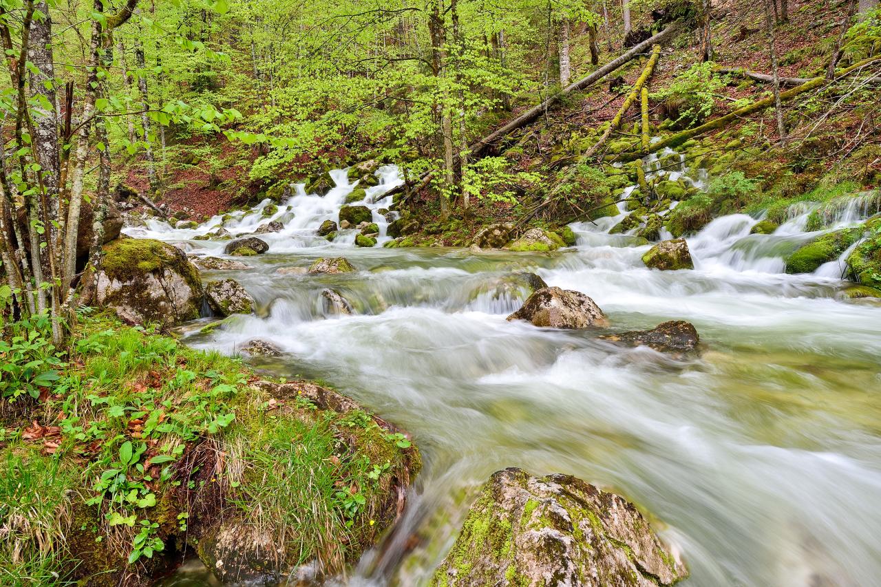
The Kalkalpen National Park guards numerous treasures in addition to its unique forest wilderness. One of them is water. It flows through the national park area in countless veins and shapes the unique landscape decisively and in a wide variety of ways. In the Reichraminger Hintergebirge are those dolomite gorges and mountain streams with more than 800 springs, which together form the longest intact stream ecosystem in the Eastern Alps and, together with the underground karst water system, were decisive for the nomination as a Ramsar protected area .
Sources
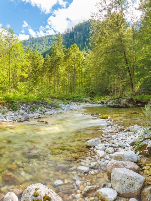
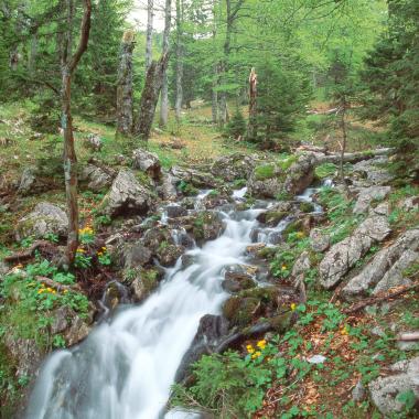
As a karst area, the national park is richly endowed with springs. More than 800 are known and documented in the national park.
The spring is the point where groundwater comes to the surface. Springs are the transition from the subterranean elevation system to the surface. The springs in the national park are characterized only by uniform, cool water temperatures. The water flow varies with the different types of springs. It is a few milliliters per second for seepage springs and several cubic meters per second for karst giant springs during floods. Springs represent unique habitats inhabited by highly specialized animals and plants that can only survive in them.
Brooks
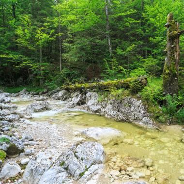
The national park has more than 80 km of streams and another 400 km of channels and ditches with only temporary water flow. The streams are not untouched, as they were used in the past mainly for timber drifting. For the most part of their course, they are close to nature, as a natural dynamic is largely permitted.
The defining stream system of the Reichraminger Hintergebirge is that of the Great Brook with its dolomite gorges. It flows into the Enns near Reichraming. Above the Große Klause, the non-native rainbow trout was systematically fished out. This created the longest rainbow trout-free flowing water system in Austria. On the border between the Sengsengebirge and the Sengsengebirge, the Krumme Steyrling flows into the Steyr as the second large stream system of the Steyr National Park.
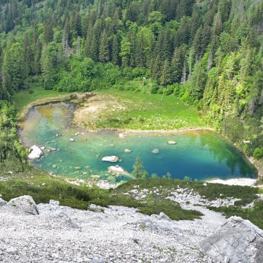
Still waters in the Kalkalpen National Park
Lakes and ponds
In Kalkalpen National Park there is only one real lake, the Großer Feichtausee in the Sengsengebirge. The adjacent Kleiner Feichtausee and also the Herzerlsee are considered ponds because they have too shallow a depth or extent. In addition, there are countless other ponds and ponds. They are an important habitat for many rare insects and amphibians. The national park is therefore a very important habitat, especially for amphibians.
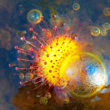
Swamps and bogs
Swamps and bogs are habitats in which the soil is more or less saturated with stagnant water. When renewable biomass is no longer degraded due to a lack of oxygen, peat is produced from it. Peat formation is the main difference between bogs and swamps, where the water level is only periodically so high that humus degradation does not occur. Due to the accumulation of peat, the surface of living peatlands grows upwards. It takes about 3,000 to 10,000 years to build up a layer of peat about 3 meters high, depending on the location. The community of peatland organisms has adapted to the extreme conditions through specialisation. They are particularly sensitive to changing environmental factors. Therefore, peatlands are among the endangered ecosystems, because every intervention leads to irreversible changes.
