On the trail of the Waldbahn
Hintergebirgs-Radweg, Reichraming
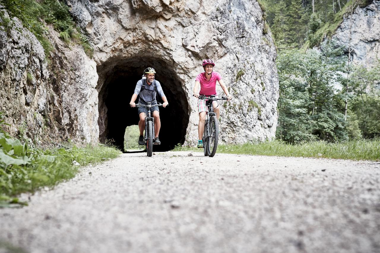
This bike tour leads along the route of the former forest railway with slight inclines to Weißwasser. From Weißwasser, the round requires some stamina. Over almost 5 kilometres, 200 metres of altitude difference to the Hirschkogelsattel have to be mastered. From there it goes downhill for kilometres to Brunnbach and continues following the Plaißabach back to the Maieralm, where the round closes. On the already known path, you cycle back to the starting point.
Starting point: Reichraming or Unterlaussa/Mooshöhe
Length: 46 kilometres
Travel time: approx. 3.5 hours
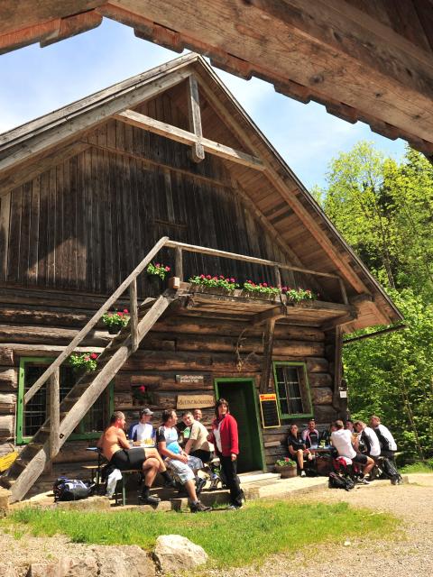
Refreshment stops: Klaushütte, and with a detour a stop at the Anlaufalm and at the Mooshöhe cyclists' meeting
Opened: April 15 - end of October!


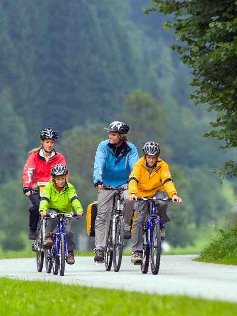
Family-friendly section of the Hintergebirgs cycle path
Out and about with children
The Hintergebirgs cycle path leads from the village square in 4462 Reichraming, initially on an asphalt municipal road with hardly any inclines, to the Anzenbach-Schranken car park. If you want to avoid car traffic, you have the opportunity to park your vehicle here (parking lot subject to charge).
From the Anzenbach barrier, the path continues on a forest road (gravel) with a slight incline to the managed Klaushütte, where you can rest and stop for a bite to eat. Along the way, there are always opportunities to descend to the banks of the Great Stream. The crystal-clear water of the mountain stream provides a welcome cooling, especially on hot summer days. Please do not underestimate the water current and keep an eye on children. It is not very strenuous to cycle the same route from the Klaushütte back to Reichraming.
If you are cycling on gravel roads, you should pay attention to a strong tire tread! Otherwise, you can quickly slip on the loose ground.


